
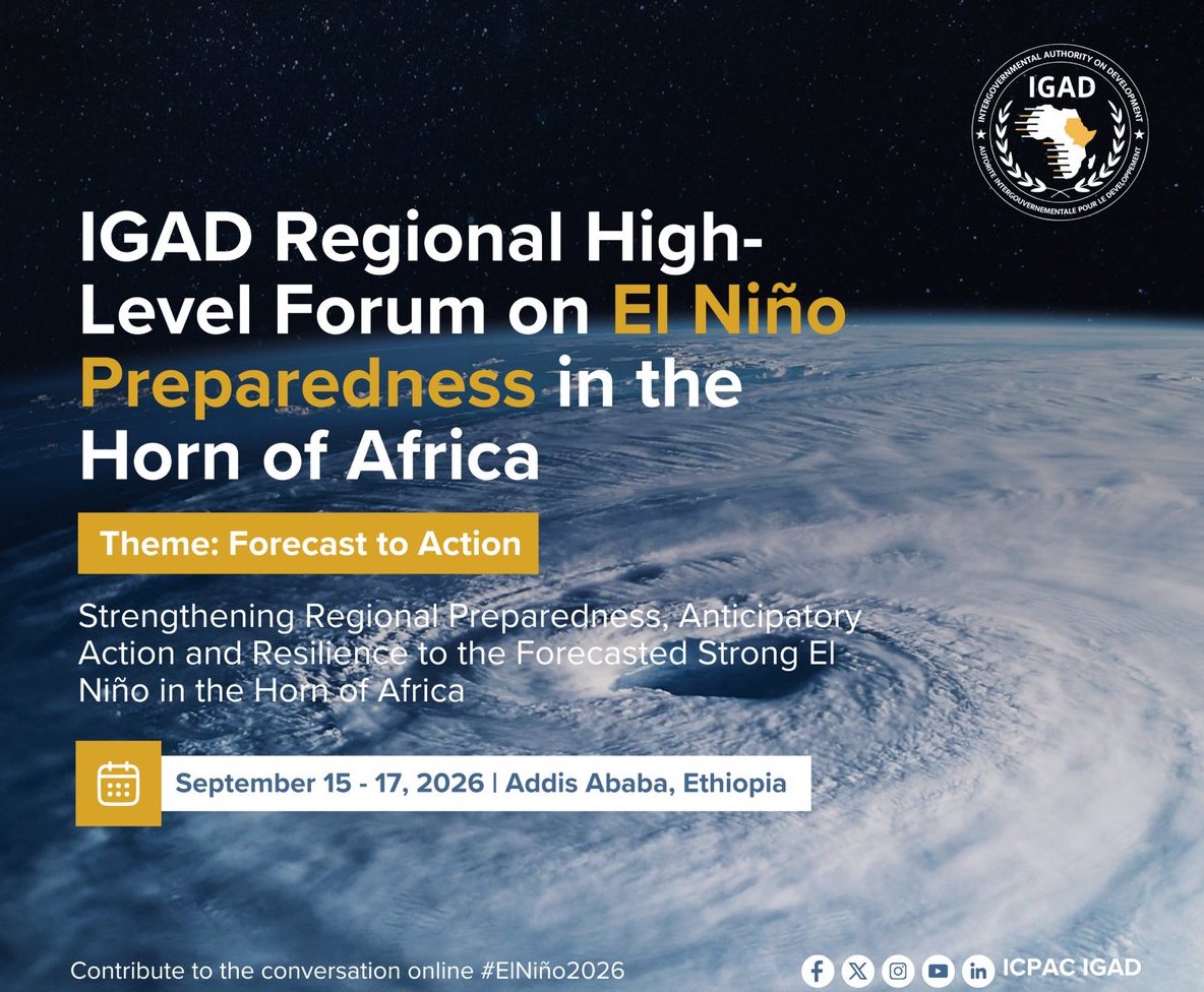
The Horn of Africa is heading into an October–December rainy season with a forecast strong El Niño and a likely positive Indian Ocean Dipole lingering; the question is how to turn a forecast to action. For a region facing both drought and flood risks, the question is no longer simply what the forecast says, but what can be done before the impacts arrive.
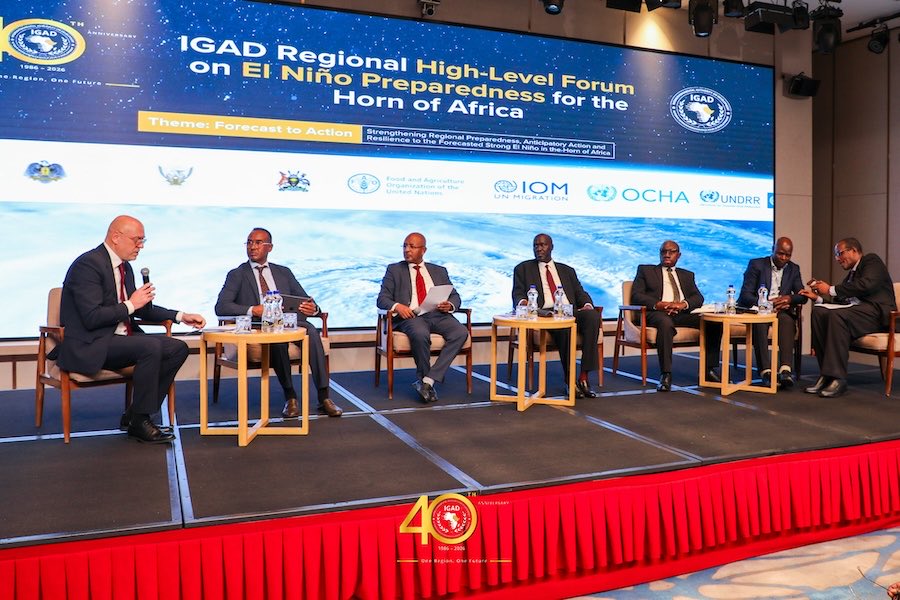
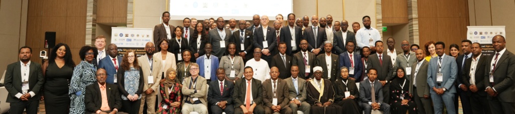
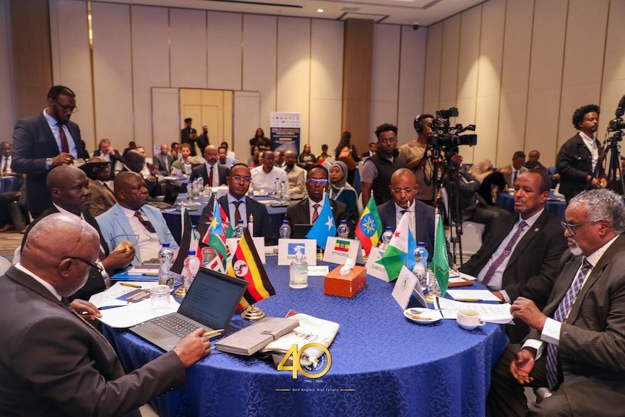
In Addis Ababa this week, disaster officials, meteorologists, humanitarian agencies and regional institutions are working through that question at the IGAD Regional High-Level Forum on El Niño Preparedness, running through 17 September, themed Forecast to Action.
Its theme, “Forecast to Action,” captures the challenge: how do you move from a probability on a climate map to a decision on the ground?
A forecast has to be translated into risk. Risk has to inform a decision. A decision needs a trigger, and the trigger needs financing available early enough for action to take place before impacts escalate.
That is the machinery behind anticipatory action, using forecasts and risk information to activate pre-agreed measures before a flood, drought or other shock becomes a full-blown disaster.
From Forecast to Early Action
The climate outlook entering the forum is not uniform across the Greater Horn of Africa, with diverse contexts exhibiting different outcomes
The June–September rains largely disappointed across parts of the northern Greater Horn. GHACOF 73, issued in May, had flagged a high likelihood of below-normal rainfall across parts of South Sudan, Uganda, Ethiopia, Djibouti, Eritrea, Sudan and western and coastal Kenya. Temperatures were also above average across much of the region.
For October–December, the picture changes. GHACOF 74, released in August, together with a Summary for Decision Makers issued early September, points towards wetter-than-normal conditions across large parts of the equatorial and southern Greater Horn, associated with the forecast strong El Niño and a likely positive Indian Ocean Dipole.
Forecasters put the probability of enhanced rainfall over southern Ethiopia, central-to-southern Somalia and northeastern Kenya at roughly 90%. In parts of central-to-southern Somalia, central Kenya, the Lake Victoria basin, Burundi, western Rwanda and western Tanzania, there is a greater than 90% chance of more than 400 mm of rainfall during the season.
For communities, however, a probability on a climate map is not yet an action. The same rainfall that could replenish pasture and water sources in drought-affected areas can also increase the risk of flash floods, river flooding and displacement.
The question then becomes: Where is the rain likely to fall? What could it do there? Who is exposed? And what needs to happen before the impacts occur?
For many officials in Addis Ababa, the experience of 2023 provides the reference point. The last comparable El Niño brought flooding across parts of the Horn, displacing thousands of people, destroying bridges and damaging livelihoods.
Dr Abdi Fidar, ICPAC’s Acting Director, invoked that experience during the forum’s opening day. “At a time when we are expecting an El Niño event that may result in heavy rainfall leading to devastating flooding and displacement, we must remember this is not a new event. We know what happened in 2023: thousands of people were displaced, infrastructure destroyed and livelihoods lost; therefore, there is no shortage of experience. We have to make the necessary decisions.”

Emphasising that the challenge, therefore, is not simply having a forecast but it is having systems capable of responding while there is still time to act.
Ayderus Hassan, Deputy Commissioner for Strategic Capacity and Operations Coordination at Ethiopia’s Disaster Risk Management Commission, described this as moving beyond forecasting hazards towards understanding their potential impacts and enabling institutions and communities to act before those impacts escalate.
Under an anticipatory-action system, a forecast or risk indicator can activate pre-agreed measures. These may include clearing drainage systems, reinforcing embankments, positioning relief supplies, providing cash assistance, protecting livestock, supporting water and sanitation services or communicating risks to communities. The difference is timing: the intervention begins before the humanitarian situation reaches its peak.
Progress differs between countries. Kenya, Somalia, South Sudan and Uganda have developed or launched national anticipatory-action roadmaps, while Ethiopia is finalising a multi-hazard framework and has already activated anticipatory drought action in selected areas.
Even though the deliberations revealed an underlying truth that a roadmap is only part of the equation. As Olivier Brouant, Rapid Response Coordinator, ECHO Nairobi, points out, financing Action Before a Crisis Strikes: EU humanitarian funding can support interventions before the full impact of a predictable shock occurs.
“For example, anticipatory cash transfers to vulnerable populations at risk, livestock protection and fodder, water and livelihood support, early warning communication and alerts, prepositioning of emergency supplies, and protection and health measures.”
One Season, Two Risks
The coming season illustrates why. In parts of Ethiopia, Sudan, Eritrea, Djibouti, Uganda’s Karamoja sub-region and western Kenya, poor June–September rains have created a different preparedness challenge. There, the concern is the aftermath of rainfall deficits: declining food stocks, pressure on livelihoods and water shortages.
In southern Ethiopia, Somalia, northeastern Kenya and areas around Lake Victoria, the concern is wetter conditions and the potential for flooding.
The actions therefore differ. In drought-affected areas, anticipatory measures may include livestock feed, water support, vaccination, destocking assistance and agricultural inputs. In flood-prone areas, preparedness could mean reinforcing flood-control structures, clearing drainage, positioning relief supplies, protecting livestock and keeping critical access routes open.
The forecast may be regional, but the risk is local. That is perhaps the simplest way to understand “forecast to action”: the use of climate information to identify where risks are likely to emerge, agree on what should trigger action, make resources available, and act before the consequences become harder and more expensive to manage.
According to Gift Chatora, Head of the UN Office for the Coordination of Humanitarian Affairs, anticipatory financing must be adequately resourced and flexible, able to respond to the needs of communities, and able to be activated at any time to address any given situation.
The Addis Ababa forum is therefore testing more than preparedness for another rainy season. It is testing whether the region’s growing investment in climate information and early warning can close the gap between knowing what may happen and doing something about it.
The answer will ultimately be measured outside the conference room. When the October–December rains arrive, the test will be whether forecasts reached the institutions and communities that needed them, whether triggers were activated early enough, whether financing was available and whether action taken before the rains helped reduce the impacts afterwards.
The forecast is already on the map, and the real test is what happens next.


