
Governments have promised to protect 30% of the planet’s land and ocean by 2030 as mandated in the Kunming-Montreal Global Biodiversity Framework (KMGBF). But inside the conference rooms of the Convention on Biological Diversity’s SBSTTA-28 meeting in Nairobi, a quieter question kept surfacing behind that headline pledge: does anyone actually have the data to know if it’s working?
The numbers presented were sobering. Of the roughly 320,000 protected areas worldwide, only about 20,000 have been effectively assessed for whether they are actually conserving biodiversity.
Meanwhile, the money needed to close the monitoring gap remains far short of demand, with estimates placing the annual conservation finance shortfall between $27 billion and $160 billion, depending on the methodology used.
Behind those figures sits a two-year effort by scientists to build a sweeping new assessment of global biodiversity data, its coverage, its gaps, and what it would take to fix them.
Since an initial author meeting in Montreal in late 2024, the project has moved through multiple rounds of review, incorporating more than 6,300 comments from governments and experts during a single public consultation. A second draft is due this month, with final adoption targeted for a UN science-policy summit in 2027.
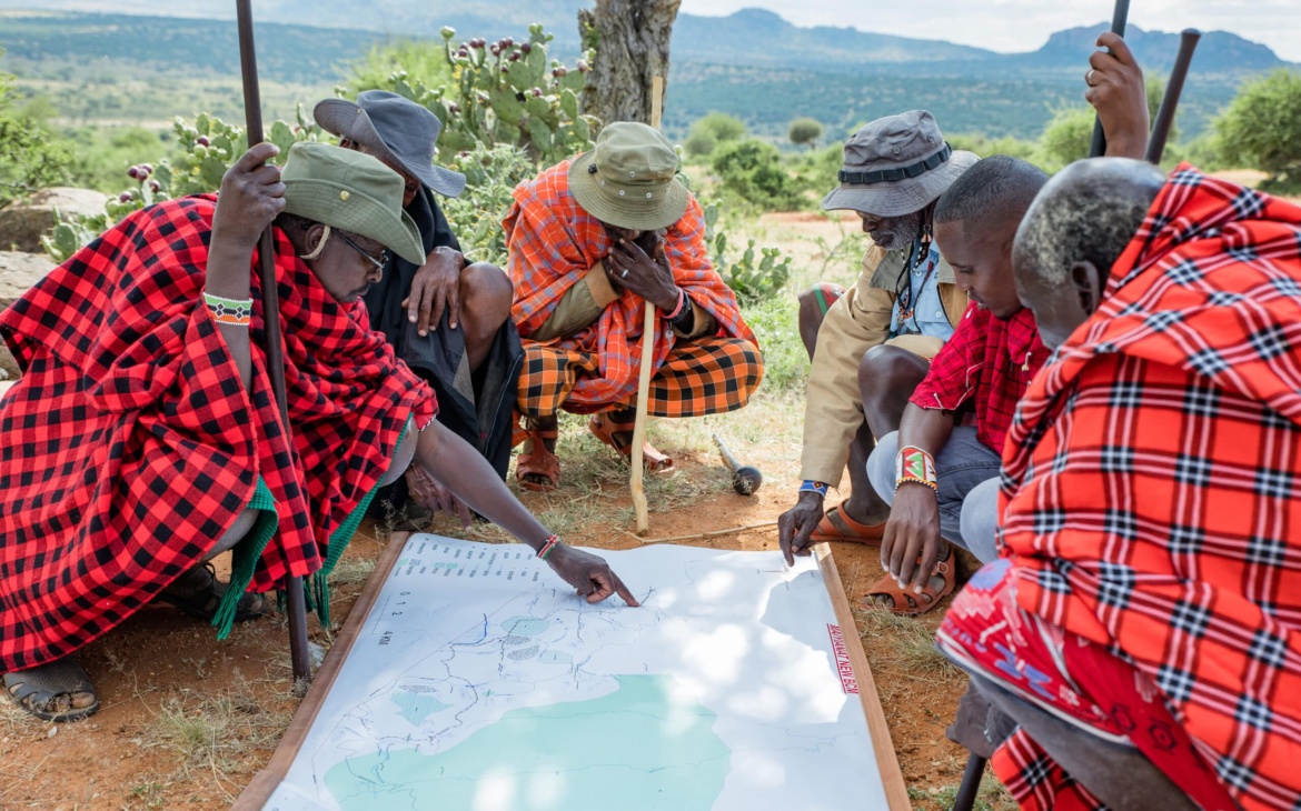
Notable is how thousands of kilometres from those conference rooms, a different kind of knowledge has been accumulating for generations, in forests, wetlands and grazing lands that Indigenous Peoples and local communities have managed without ever appearing in many official biodiversity records.
In this regard, a new indicator, Headline Indicator 22.1 (HI22.1), is trying to close that gap. Developed to support Target 22 of the Kunming-Montreal Global Biodiversity Framework (KMGBF), it asks three practical questions of every country: how much Indigenous and community land is legally recognised, whether the people living on it feel secure in that recognition, and whether the land itself is remaining healthy or degrading.
Rather than relying solely on satellite imagery, the indicator combines community mapping, Indigenous knowledge, government land registries and scientific monitoring.
It can currently draw on data from 102 countries for legal recognition, 103 for tenure security and 83 for land condition, covering communities that collectively steward roughly one-third of the world’s land.
Kenya’s National KMGBF Report Pioneers a Proof of Concept
Kenya offered one of the clearest examples of what that looks like in practice. While preparing its Seventh National Biodiversity Report under the KMGBF, the country organised a national data-mapping and validation workshop that, for the first time, brought statisticians, the land registry and the forest department together with Indigenous communities as knowledge partners rather than simply sources of information.
Ms Mayiani Saino, Deputy Director of Multilateral Environmental Agreements (MEAs)at Kenya’s Ministry of Environment, described one of the key lessons from that process: “our institutions hold very significant and special statistical data that often never finds its way into national reporting systems.”
It became evident how community mapping helped validate government records while identifying sacred forests, restoration initiatives and customary governance systems that conventional datasets often overlook.
The exercise also highlighted an important distinction between land tenure recognised on paper and how secure communities actually feel on the ground.
Isaiah Kilerai, an Indigenous youth leader from Kenya, said that involving communities leads to policies grounded in reality.
“When local people help identify and manage conservation areas, biodiversity policies become more meaningful because they reflect local realities,” said Isaiah.
He added that farmers also benefit through healthier soils, improved pollination and cleaner water.
The technical process presented during the meeting showed what that shift required. Indigenous Peoples contributed their own spatial data, local knowledge and lived experience alongside government datasets.
The result was a joint validation process involving government agencies, technical partners and Indigenous communities.
Thus, the process resulted in a Seventh National Biodiversity Report and corresponding HI22.1 data that are more accurate, more credible and more broadly owned by the people they represent.
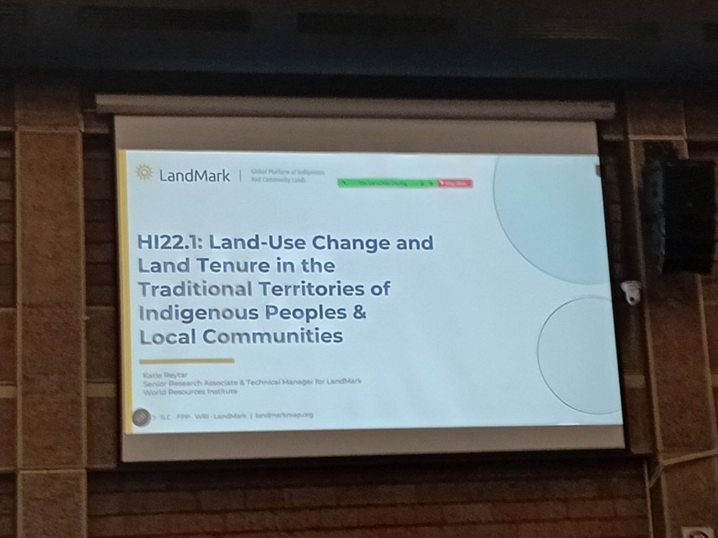
As the International Land Coalition’s Danique de Ronde observed, the broader challenge now is ensuring that people-centred data becomes a routine part of national biodiversity reporting.
Biodiversity Protection, A Shared Dialogue Across Countries
Kenya’s experience formed part of a wider “parties’ and rights-holders’ dialogue” convened alongside the meeting by AIM4Forests, the International Land Coalition, the World Resources Institute and the Forest Peoples Programme.
Josefa Cariño Tauli, an advocacy officer with Partners for Indigenous Knowledge Philippines, shared her country’s experience, followed by Ricardo Camilo Niño Izquierdo, Indigenous technical secretary at Colombia’s Comisión Nacional de Territorios Indígenas, and Panama’s Laura Alejandra Parra.
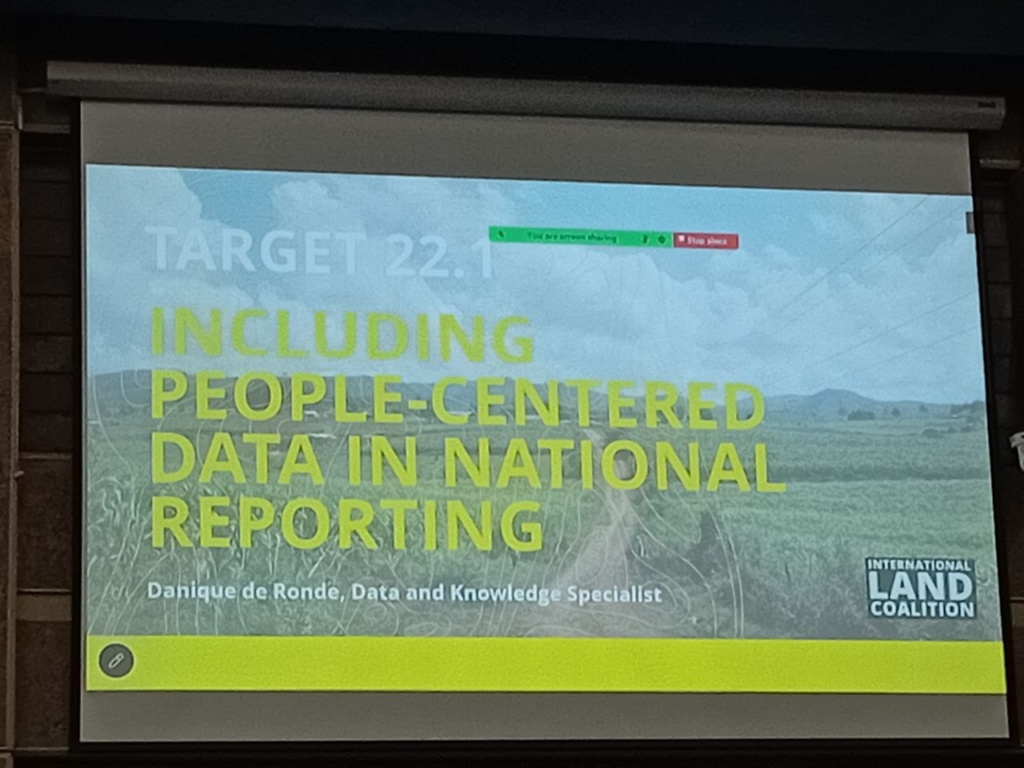
On the technical side, the World Resources Institute’s Katie Reytar, senior research associate and technical manager for the LandMark platform, which provides much of the geospatial data supporting HI22.1, explained how the indicator’s land-use component is measured.
The discussion closed with a practical question: what will it take to make HI22.1 reportable, credible and useful across countries?
Moderator Maurizio Ferrari summarised three priorities: stronger participation by governments, Indigenous Peoples and local communities; greater investment in national statistical and technical institutions; and clearer institutional responsibility for maintaining the data.
In her closing remarks, Saino echoed those priorities, framing them as part of the road toward COP17.
If Kenya demonstrated what better biodiversity data can achieve, neighbouring Uganda illustrated why that work is increasingly urgent.
Uganda’s forest cover has fallen from roughly 24% in 1990 to around 12–13% today, with an estimated 70,000 to 100,000 hectares disappearing every year. Nearly 40% of the country’s land is now degraded, a decline youth climate leader Michael Kakande said costs Uganda an estimated 4–6% of GDP annually through lost agricultural productivity and damaged ecosystems.
For many young Ugandans whose livelihoods depend on farming, biodiversity has become as much an economic issue as an environmental one. Kakande argued that investment in restoration and regenerative agriculture could both protect ecosystems and create employment opportunities for young people.
Taken together, the discussions in Nairobi pointed to a simple but often overlooked reality. Achieving global biodiversity targets depends not only on expanding protected areas, but also on knowing what is being protected, how success is measured and whose knowledge is included in that process.
The meeting suggested that better biodiversity conservation may depend as much on recognising the people who have long managed ecosystems as on improving the systems used to measure and monitor nature itself.


