The recent weak La Niña event is fading, with global climate models pointing toward a return to neutral conditions, and a possible swing back to El Niño later this year, according to the latest update from the World Meteorological Organization (WMO).
Forecasts from WMO Global Producing Centres indicate a 60 percent chance of ENSO-neutral conditions, meaning neither El Niño nor La Niña, during March to May 2026. That probability seemingly rises to 70 percent for April to June.
From May to July, neutral conditions remain likely at around 60 percent, but the probability of El Niño steadily increases to about 40 percent.
While the outlook suggests stability in the near term, forecasters caution that uncertainty grows at longer lead times. Predictions issued at this time of year are typically less reliable due to the “boreal spring predictability barrier”, a well-known limitation that affects forecasting accuracy for the El Niño–Southern Oscillation (ENSO).
Understanding the Shift
El Niño refers to the periodic warming of sea surface temperatures in the central and eastern equatorial Pacific Ocean, coupled with shifts in atmospheric circulation patterns, including winds, pressure systems, and rainfall distribution. It typically produces weather impacts opposite to those of La Niña.
The most recent El Niño episode in 2023–2024 was among the five strongest on record and contributed to record global temperatures observed in 2024.
“The WMO community will be carefully monitoring conditions in the coming months to inform decision-making,” said WMO Secretary-General Celeste Saulo.
“Seasonal forecasts for El Niño and La Niña help us avert millions of dollars in economic losses and are essential planning tools for climate-sensitive sectors like agriculture, health, energy, and water management.”
She added that such forecasts form a core component of global climate intelligence, supporting humanitarian operations and disaster risk reduction efforts.

Climate Variability in a Warming World
Natural climate cycles such as El Niño and La Niña are now unfolding within a broader context of human-induced climate change. Rising global temperatures are amplifying extreme weather events and altering seasonal rainfall and temperature patterns.
This means that even neutral ENSO conditions do not equate to climate stability. Background warming continues to influence how heatwaves, droughts, floods, and storms develop and intensify.
To provide a broader perspective beyond ENSO alone, WMO also issues regular Global Seasonal Climate Updates. These assessments incorporate other major climate drivers such as the North Atlantic Oscillation, the Southern Annular Mode, and the Indian Ocean Dipole, all of which shape regional weather patterns.

The updates monitor global and regional temperature and precipitation anomalies and assess how they may evolve in the coming season.
What the Latest Outlook Signals
For March to May 2026, WMO reports a widespread global signal for above-average land surface temperatures. Even as La Niña conditions weaken, rainfall patterns in the equatorial Pacific are expected to retain a lingering La Niña-like signature.
Elsewhere, precipitation forecasts show a more mixed pattern, reflecting the complex interplay of multiple climate drivers.
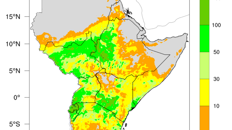
For countries in East Africa and other climate-sensitive regions, such seasonal outlooks serve as early warning tools. Agriculture planning, water resource management, public health preparedness, and energy systems all depend on reliable seasonal forecasts.
As the climate system transitions away from La Niña, attention will increasingly turn to whether neutral conditions hold or whether a warming El Niño phase emerges later in the year.
In a warming world, even incremental shifts in ocean temperatures can carry significant consequences. For policymakers, humanitarian agencies, and climate-vulnerable communities, the message is clear: preparedness must remain constant, even when the global climate signal appears neutral.